Drone inspections are a game-changer for infrastructure projects, repair and maintenance, reducing time and saving money. But there is one invisible threat.
Even with their most sophisticated sensors, modern drones have a major blind spot. They cannot ‘see’ the air currents around them.
Our ground-breaking system, Airsight, is here to add insight, make air currents “visible”, and minimise risk by simulating exclusion zones which helps to prevent drones from entering air space that could put the UAV or even personnel at risk. The data generated by AirSight has already been validated against physical test data in various settings, including airports and wind farms. Now we have just completed successful trials at a Science Park building in Wales, supported by Innovate UK.
Watch our video to learn more about how AirSight provides a solution.
Drones are increasingly being used to inspect buildings, including other infrastructure and on and offshore wind farms, as they can nimbly access hard-to-reach areas efficiently. This is a step forward as it not only saves time and money from scaffolding costs and safety planning but also provides architects, builders, maintenance staff and inspectors with high-quality media and data.
With their sophisticated sensors and control systems, modern drones are designed to avoid colliding with physical objects. However, to make drones safer and more commercially viable, they need to be able to counter high wind speeds, gusts, aerodynamic vortices and sheer layers.
Recognising this critical safety gap, we created AirSight, an innovative tool for safer drone flight. It can be applied in a variety of circumstances from logistics, industrial inspection, urban drone flight planning, vertiport placement and rescue services in remote locations.
The route planning and automated collision avoidance systems for modern drones can use the AirSight data service from Zenotech to navigate around aerodynamic hazards. Airsight draws on advanced high-fidelity aerodynamic simulations to model the airflow around infrastructure, creating dynamic exclusion zones, which enables drones to avoid dangerous areas.
Our latest trial
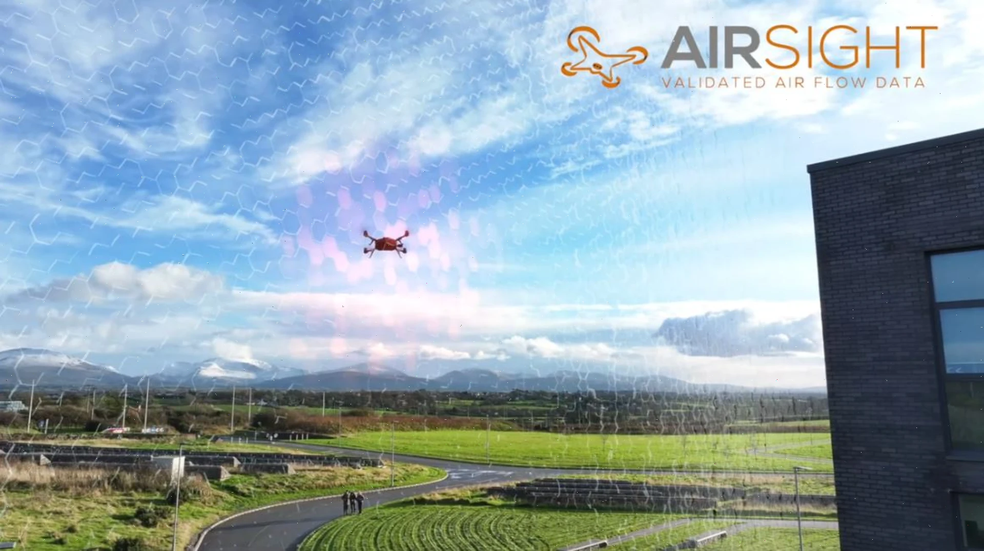
In our most recent trial of the integrated system, an inspection drone successfully inspected the M-Sparc Science Park building in North Wales. We partnered with Aerialworx, with their extensive experience and expertise in UAV design, innovation and production. Their drone used AirSight exclusion zones to conduct a planned inspection mission of the science park building, adapting its route to avoid the turbulent wake behind the main building.
We anticipate further announcements shortly – stay tuned!
Are you interested in hearing more about AirSight?
Find out more about AirSight here.