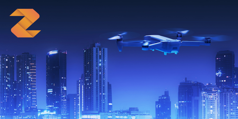
AirSight is a revolutionary new service from Zenotech to develop safer drone and unmanned air vehicle operations. By performing highly accurate simulations of the natural environment combined with high resolution building models, AirSight can predict areas of highly turbulent air that might pose a danger to vehicles in flight.
This data can be fed into a flight control system or given to mission planners to safely navigate your vehicle around unseen aerodynamic danger. The data generated by AirSight has been validated against physical test data in a variety of settings, including airports and wind farms.
AirSight is applicable to a range of use cases including industrial inspection, urban drone flight planning, vertiport placement and safety evaluation. To see how AirSight can reveal invisible dangers, watch our video here.