The needs of farmers working the land and high-tech aero CFD specialists optimising urban drone flight seem worlds apart. But who knew that their needs are the same – when it comes to monitoring wind conditions?
Read on to discover how anemometers designed to help farmers monitor wind direction and pressure have ended up helping the Zenotech team on their innovative project to enable safer drone flight across our cityscapes and airports.
SafeZone and Sencrop
Zenotech, alongside partners Flare Bright, are working on an innovative project, SafeZone, to improve the safety and viability of urban drone flight, allowing UAVs to adapt their routes as they fly through wind changes.
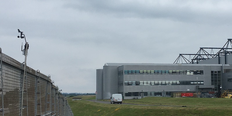
The project is generating and using localised aerodynamic meteorological data in the airport setting, and to help complement and validate data sources on the project, the team was on the search for anemometers that could tick all the boxes for use in this specific environment. The product chosen came from an unusual source – much nearer the ground.
Sencrop’s next generation of connected ag-weather stations for farmers appeared as the best option for the project, offering cost-effectiveness, accuracy, remote data, local wifi installed, and battery power for more than three years.
Connected farming to urban flight
With Sencrop, farmers can collect weather data from their fields using a connected weather station that sends data updates, using a long-range, low-power network, updating directly to an app from the field every 15 minutes. It also allows users to set personalised weather alerts. Farmers can make more informed decisions with notifications about frost, disease-favouring conditions, temperature, humidity, rainfall, and pollination conditions.
Sencrop’s anemometers are being used to help complement our CFD results, the Met Office, and validated with the data from Flare Bright’s snapshot nano drone.
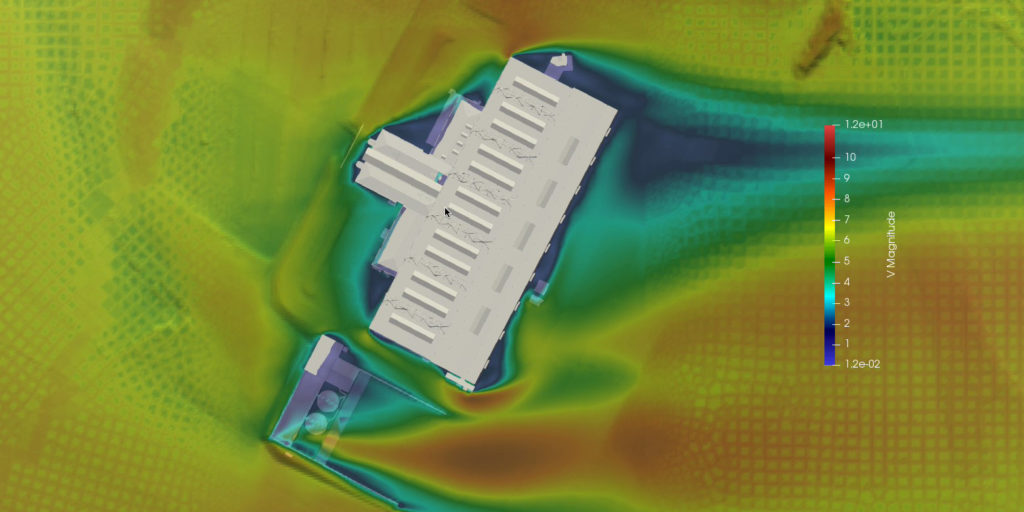
Our numerical modelling software using our CFD solver, zCFD, and supercomputing tool, EPIC – has been well validated against standard and experimental data sources, such as wind speed and direction. However, before this data service can be used commercially, in-situ validation data is needed, especially in complex environments, where it is difficult to model the wind.
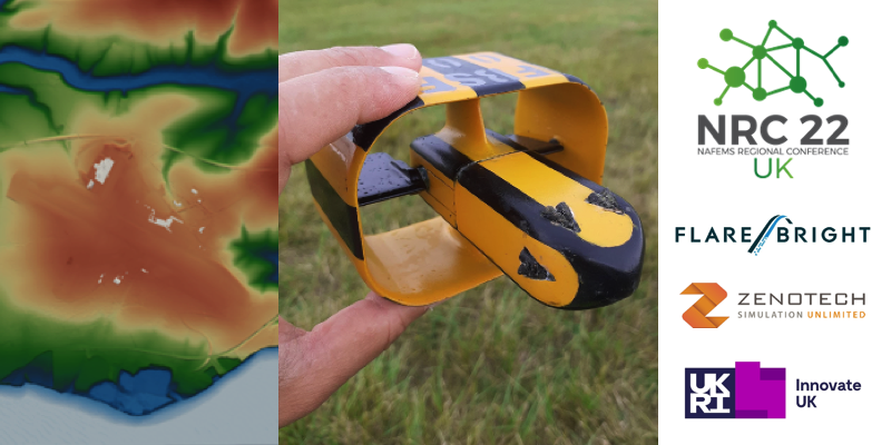
Flare Bright’s snapshot nano drone is a perfect physical platform for rapid data generation. It will provide empirical validation for the deployment of Safezone’s planned simulation-based data service, due to its small size, ease of use, and safety.
The new data service will be a game-changer providing greater accuracy than the current alternatives. The Met Office does not offer granularity (e.g precision to 10km worldwide whereas our project tolerates 1.0m as needed). LIDAR is costly and does not work in all atmospheric conditions, while traditional anemometers can be hazardous in the airport setting. That’s where Sencrop’s anemometers come in to help validate data on wind direction in the specificity of the airport environment.
There have been two successful tests at Cardiff Airport producing positive, world-first results. This is a game-changer for the future of flight; with the assurance of safety, urban UAVs have the potential to improve sustainability, ease congestion, and increase capability in a wide range of fields, from logistics to emergency services.
Follow us on Linkedin to find out more about this and other projects.
Find out more about Sencrop here.
