![SafeZone in full flight for drone safety [video] SafeZone in full flight for drone safety [video]](https://zenotech.com/wp-content/uploads/2023/11/header-Zenotech-article.jpg)
Our SafeZone project is in full flight with an increasing number of successful trials. SafeZone is part of the Future Flight Challenge to position the UK as a leader in the third aviation revolution. With our initial project partners, Flare Bright, our project is designed to further safer and more viable drone flight.
The project has already achieved successful results at Cardiff Airport, St Athan Airport, and wind farms in the UK. We are also working with the Civil Aviation Authority and the British Standards Institution on the technical and regulatory aspects of UAV safety.
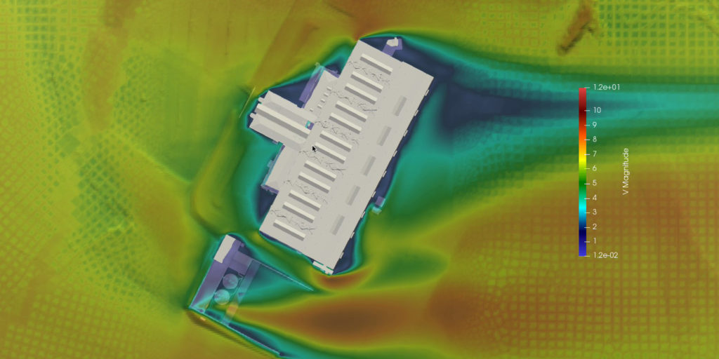
We’re excited to bring our expertise to resolve the challenge of gaining highly resolved wind data where airflow patterns may vary which will allow the drones to navigate around aerodynamic hazards (e.g. around buildings at airports, the urban landscape).
Our tech is modelling winds in these environments and validating them with our new service, AIRSIGHT, which is based on high-fidelity CFD simulations combined with live weather data. These can be streamed to route planning software or directly to drones. The models are validated using Flare Bright’s innovative drones, acting as a mobile anemometer.
With SafeZone moving forward so effectively, we wanted to document progress so far and bring it to life with a video.
Watch the video below.
Read the video transcript here:
Knowing accurate wind speed and direction is a critical enabler for Advanced Air Mobility – for safety, for planning and for Unmanned Aircraft System Traffic Management. There is no easy way to get highly resolved wind data for urban, industrial and airport zones, where airflow patterns vary widely due to large buildings. UKRI Future Flight Challenge have funded project SafeZone Phase 3 to model winds in these environments and validate the model data in a new way.
The route planning and automated collision avoidance systems on modern drones can use the AIRSIGHT data service from Zenotech to navigate around aerodynamic hazards such as shear layers and vortices – for example near wind farm turbines or large buildings, such as Cardiff Airport.
The AIRSIGHT model is based on high fidelity computational fluid dynamics simulations, combined with live weather data to generate dynamic information for hazard avoidance. Large datasets are computed for each site, and streamed to route planning software, or directly to drones in operation.
Validation of model using Flare Bright PAD
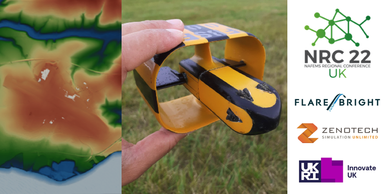
Flare Bright develops drone software using machine learning digital twin technology. In addition to providing support for GPS-denied flight and GPS-spoofing capability, this provides accurate and versatile wind measurement in any drone with the software adapted to it, for example the PAD fixed-wing drone used for the flight trials at St Athan Airport. Acting as a mobile anemometer, the high fidelity wind data measured by the drone can be used to validate the AIRSIGHT model or to improve in-flight control.
Risk analysis
To support general use of the capability, Cranfield University is developing a risk assessment and mitigation model, based on the behaviour of different drones in variable wind conditions.
SafeZone is working with the Civil Aviation Authority and the British Standards Institution to further develop the technical and regulatory requirements for the safe operation of drones.


